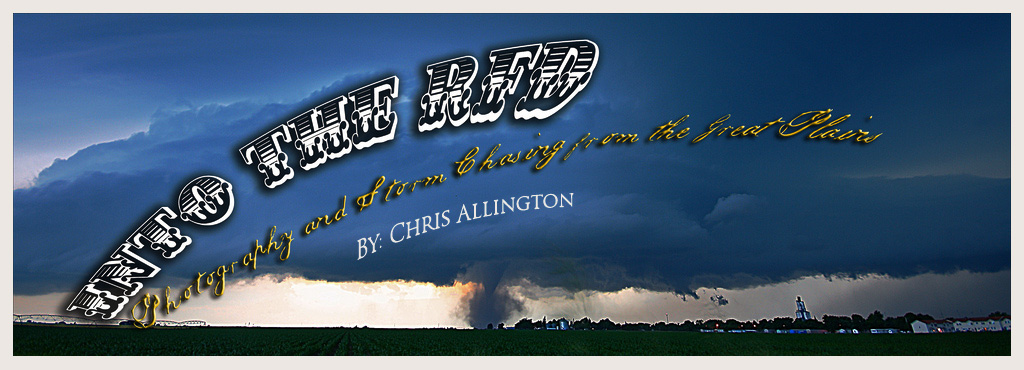
Hey everyone,
You may have noticed a lack of updates both here and on my website. Between work and chasing storms I've been pretty darn busy. I chased 3 days in a row last week. The 12th, 13th, and 14th of April. I figured I would make a blog post with a preview of some images so you would know what to expect when I get the actual accounts up on my website. Once that is done I will finally be working on uploading more images to my galleries. Anyway... the first day on the 12th (Thursday) looked good for some storms over Western and Northwest Kansas. There were some concerns about the strength of the cap the further south you went, but also concerns about gulf moisture making it far enough north to create favorable conditions for storms. We started the day in Nebraska and drove to Garden City, Kansas. Making it around 2pm. Soon after a tornado watch was issued for much of Northwestern Kansas and parts of Colorado and Nebraska. We moved slightly north and sat near Tribune watching storm towers rise and fall. It became obvious that the cap was going to hold and we needed to head north... so we went for developing storms near Goodland, Kansas along interstate 70. Once we caught up to the storm the wind shear was so strong it was of the low precipitation variety. Which made the storm visually interesting but not very strong. Here is a preview!

We stayed in Colby, Kansas for the night and awoke in the morning to a forecast that doubted whether we could get storms to form in Oklahoma before dark. But we decided to chance it. Storms fired very early (around noon) as we were just crossing the Oklahoma border. We finally reached a line of developing storms around 3pm. The cell we had targeted rapidly weakened as we approached near Chickasha, Oklahoma. As new storms developed to the southwest. We headed down interstate 44 towards Lawton, Oklahoma and then west. Reaching a high precipitation supercell near the Snyder, Oklahoma area in the Wichita Mountains area. Here is a quick preview from that storm!

We stayed that night in Oklahoma City... and Saturday was supposed to be the big day. A rare 'high risk' of severe weather was issued by the Storm Prediction Center and they called for a tornado outbreak. We awoke early and crossed the Kansas border. Reaching the McPherson, Kansas area before heading west towards developing storms flying northeast across the state at 55mph. After being stuck in fog and low clouds on the early storms we elected to head to the south and west and get into clearer and more unstable air as more storms fired near Dodge City, Kansas and rapidly started to rotate. Here is a shot with a funnel cloud on the storm near Greensburg, Kansas! It ended up as a rather frustrating day as we would get in perfect positions on storms and they wouldn't produce. While the ones we had just left to the north had tornadoes on the ground, or another storm to the south would produce. Sometimes thats just the luck of chasing storms.

Finally I'll sneak in one last photo from my trips to Badlands National Park (I'm working on an image account for this as well) Enjoy! Feel free to let me know what you think, and thanks for your patience as I complete all of these updates!

Thanks again,
Chris
 -Northwest Kansas Low Precipitation Supercell-
http://www.intotherfd.com/041212.html
-Northwest Kansas Low Precipitation Supercell-
http://www.intotherfd.com/041212.html
 -Southwest Oklahoma Supercell/ Lightning-
http://www.intotherfd.com/041312.html
-Southwest Oklahoma Supercell/ Lightning-
http://www.intotherfd.com/041312.html
 -Kansas Tornadoes/ High Risk-
http://www.intotherfd.com/041412.html
To help you decide if they are worth a look I figured I better include a couple more teaser images! I'll continue working on getting some other updates done and keep you guys updates... in addition I'll finally be adding some more images here so stay tuned!
Thanks,
Chris
-Kansas Tornadoes/ High Risk-
http://www.intotherfd.com/041412.html
To help you decide if they are worth a look I figured I better include a couple more teaser images! I'll continue working on getting some other updates done and keep you guys updates... in addition I'll finally be adding some more images here so stay tuned!
Thanks,
Chris


